Thesprotia - Epirus (Greece)
Thesprotia, the most north-western prefecture of Epirus, covers an area of 1515 sq.km. (585 sq. mi.). The population of the prefecture is approximately 46,000 inhabitants.
Thesprotia borders Albania in the north, the prefecture of Ioannina in the east, and the prefecture of Preveza in the south. In the west lies the Ionian Sea.
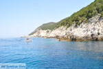
The coastline of Thesprotia is very irregular with many bays and inlets. Thesprotia is mountainous or hilly (approximately 94%). Only 6% of the surface is flat. There are three different mountain ranges, which are the mountains of Parga (927 meters/3,041 feet), the mountains Filiata, Margaritiou and Megali Rachi (1065 meters/3,494 feet) and the mountains of Paramithia (the highest peak is Korila at 1658 meters/5,440 feet).
To the east are the high mountains of Souli (1615 meters/5,300 feet) and Tsamanta (1806 meters/5,925 feet). Between the mountains are many beautiful plains and gorgeous valleys. The largest plains are those of Igoumenitsa and Margaritiou. The largest valley is the valley of Kalamas.
Also characteristic of Thesprotia are the numerous rivers, of which the best known are the rivers Acherontas and Kalamas.
The climate of Thesprotia is variable. The Mediterranean climate prevails near the Mediterranean coast, but in the mountains, however, the continental climate dominates and thus it can be very cold in the winter and a great deal of snow can fall.
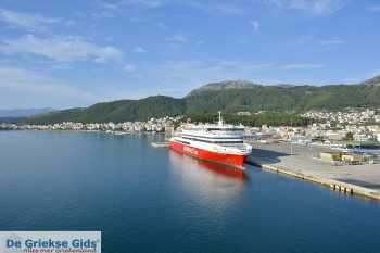
The capital of Thesprotia is the city of Igoumenitsa which has about 10,000 inhabitants. Igoumenitsa is the big port of the region Epirus. Igoumenitsa is connected by ferry to Italy, Patras, Corfu and other Greek islands.
The road network of Thesprotia has improved greatly in recent decades as the new motorway "Egnatia Odos" Igoumenitsa connects Igoumenitsa with Thessaloniki and the rest of Greece.
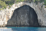
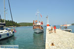
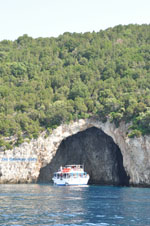
Photo Gallery Thesprotia - Photos of Epirus
Sights and tips prefecture Thesprotia
- The city of Igoumenitsa: The port city of Epirus which is located 470 kilometers (292 mi) from Athens and 480 kilometers (300 mi) from Thessaloniki. You can swim at the beaches Drepano and Makrigiali five kilometers (3 mi) south of the city. Visit the forest of Igoumenitsa where the remains of a Turkish castle are located. The castle was destroyed in 1685 by the Venetian Morosini. Morosini was the Doge of Venice from 1688 to 1694. He was a member of a famous noble venetian family which produced several Doges and generals.
- Ragi Tower near the village of Ligia, 13 kilometers (8 mi) from Igoumenitsa. It's the only thing remaining of the old town of Toroni.
- The Acropolis of Dimokastro
- Close to the border with Albania and the Ionian coast, there is the historic town Sagiada. Sagiada was an important port during the Turkish occupation, the French Consulate was located here. This was the spot where the Turk Ali Pasha met Napoleon at a diplomatic meeting. Sagiada has a gorgeous beach (Skaloma) and is located 25 kilometers (15.5 mi) north of Igoumenitsa.
- The Monastery of Pagania built in the 18th century (40 km/25 mi) from Igoumenitsa
- Margariti, the place where Turkish princes had traditional townhouses and where the lakes of Kalodikeo are located. In these lakes you can see rare water lilies. Margariti lies 28 kilometers (17 mi) from Igoumenitsa and just 20 minutes from Parga.
- The traditional Epirotan village Paramithia: This village is 40 kilometers (25 miles) from Igoumenitsa and is located between the rivers Acherontas and Kalamas (Tsiamis). It got its name from the Byzantine Church of Panagia Paramithia (Holy Mother Paramithia) that is located here. In the center, there is a Venetian monument and a clock that runs on weights.
- Glyki Potamia (20 km/13 mi from Paramithia) where the river Acherontas and the natural surroundings are really magnificent. Visit the historic "Stairway Tzavelena," one of the best known Greek heroines of Greek history.
- One of the most beautiful villages of Epirus is Perdika. Perdika is situated between Sivota and Parga (about 35 kilometers/22 miles from Igoumenitsa) and has beautiful beaches, scenic forests, magnificent hills and mountains, several brooks, streams and rivers, and much more.
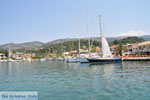
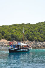
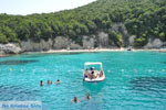
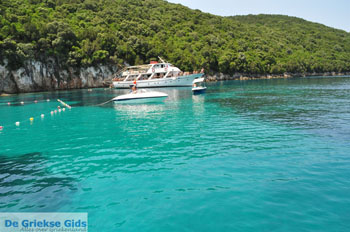
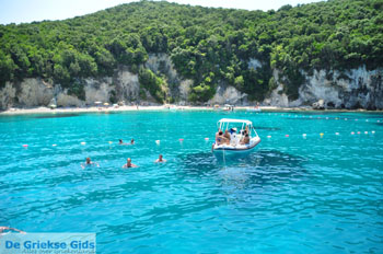
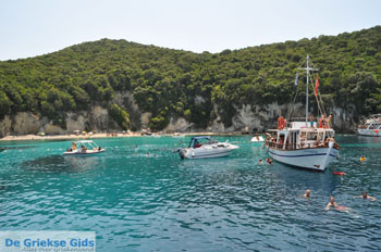
- Sivota: 25 kilometers (15.5 mi) south of Igoumenitsa is the touristic village of Sivota . It is a beautiful village across four small islands which can be reached by boat and where exquisite swimming is possible. Beautiful beaches around Sivota are Pisina, Zavia, Megali Ammos, Perdika, Gallikos Molos and more. From Sivota, boat trips to the islands of Paxos and Corfu are available.
- The islet Mourtemeno (at Sivota) where the sandy Bella Vraka by a narrow strip of sand is connected with the mainland.
- The village Filiates (20 kilometers/12 miles from Igoumenitsa and located on the border with Albania) founded in the 18th century by gypsies and Muslims. Here you can visit the Museum of Ethnography in Tsamanta.
- Souli (73 kilometers/45 miles from Igoumenitsa): Souli is one of the most historical places of Epirus. It is known for the battle between the Greeks and Turks of Ali Pasha. Here you should visit the Ethnologic museum and the traditional villages Tsagari, Avlotopos, Frossini and Koukouli.
Weather forecast Thesprotia
History Thesprotia
Thesprotia was named for King Thesprotos who built the first town in this area (Efira). According to the ancient Greek historian Thoukidides (author of "The Peloponnesian War" who lived between 460 and 397 BC) the limits of Thesprotia were the rivers Kalamas (Thiamis) and Acherontas. This department also houses the world-renowned Oracle of Dodoni. Lots of Greek myths were "created" here including those of the heroes Hercules and Theseus. The Thesprotians also fought in the Persian War.
Text: Jorgos and Wendy Nikolidakis - Text edited by Katrina Butzer
Photos Thesprotia - Thesprotia pictures
Thesprotia in other languages
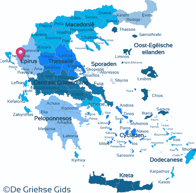
Thesprotia: Where on the map is Thesprotia located?




 Thesprotia (GriekseGids.nl)
 Thesprotia (GriekseGids.be)
 Thesprotia (JustGreece.com)