Kyra Panagia
Kyra Panagia - Sporades (Greece)
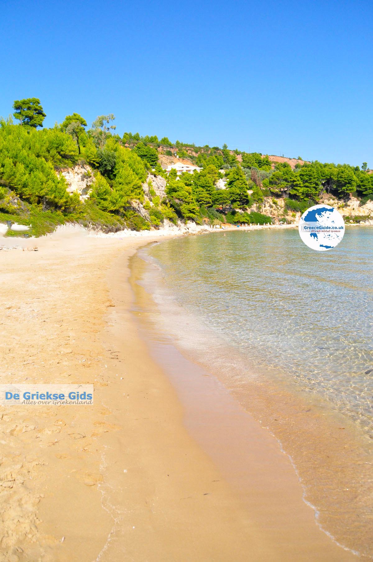
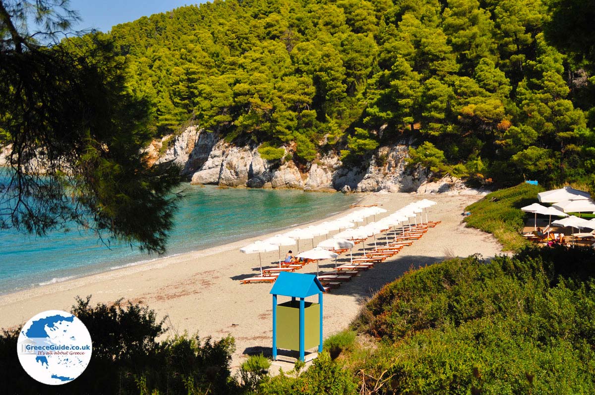
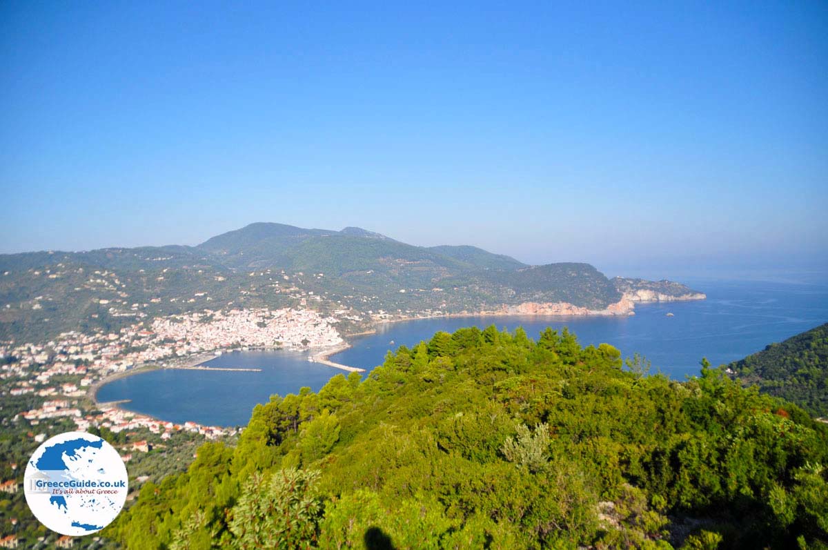
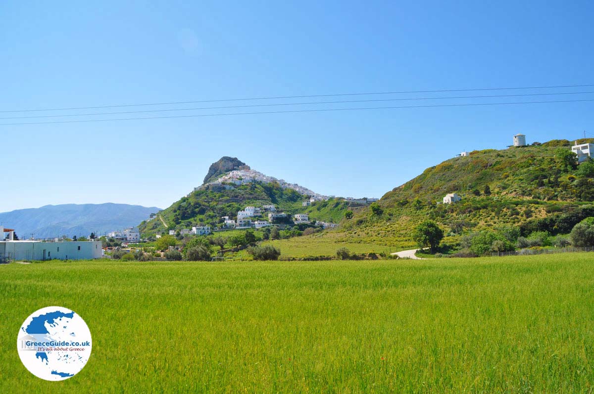
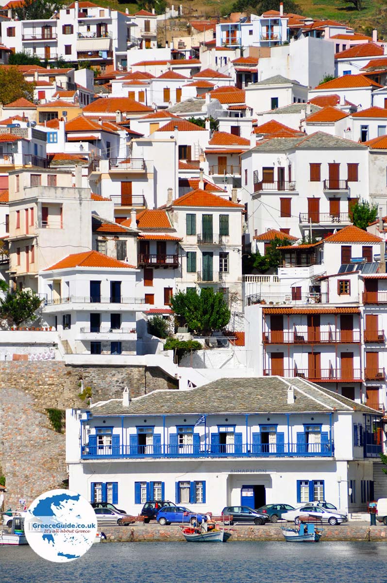
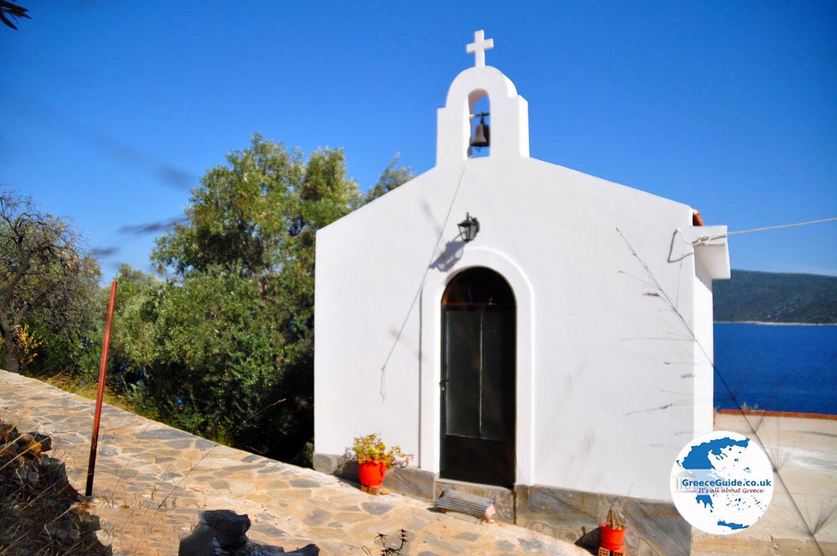
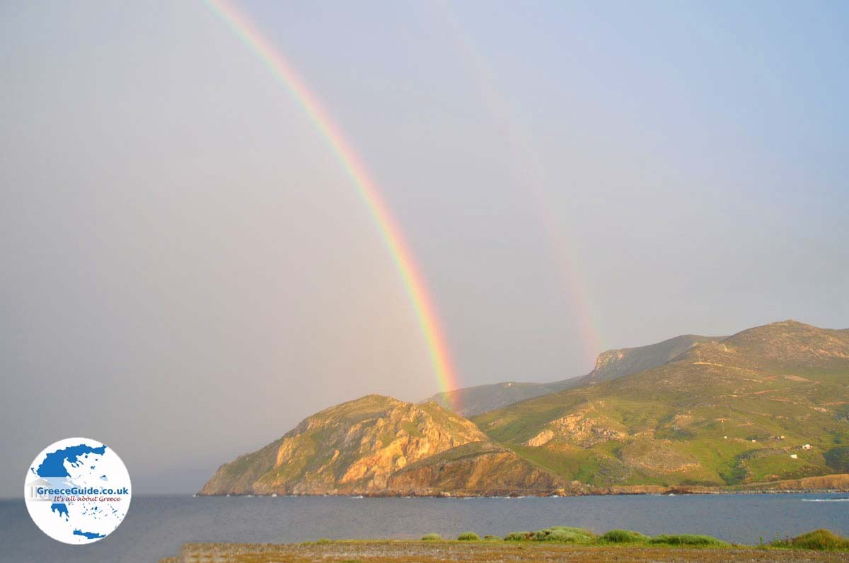
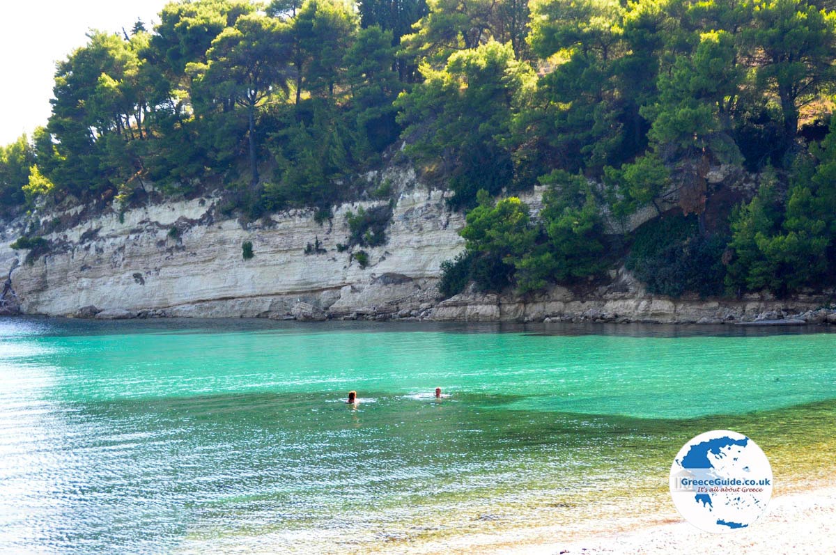
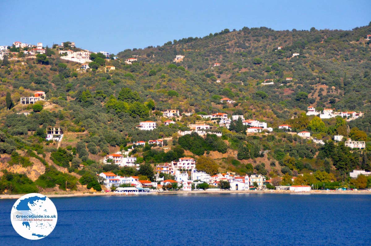
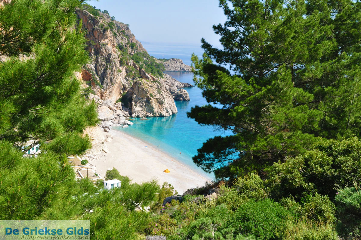
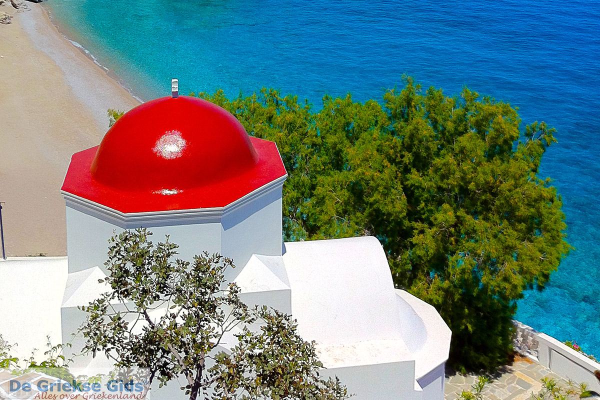
Kyra Panagia (Pelagos or Pelagonisi) is the largest of the uninhabited islands of the Sporades archipelago. It lies northeast to Alonissos and is approximately 25 sq.km.. Some people live on the island particularly monks. The island is owned by the monastery of Megisti Lavra on Mount Athos, hence the name Kyra Panagia (= Madam Mother). The island lies at the Alonissos Marine Park and is one of the places where the Mediterranean monk safely lives.
Text: Jorgos and Wendy Nikolidakis - Text edited by Maxine van Hoften
Photo Gallery Sporades - Photos of Sporades

Weather forecast Kyra Panagia
Average temperature Kyra Panagia
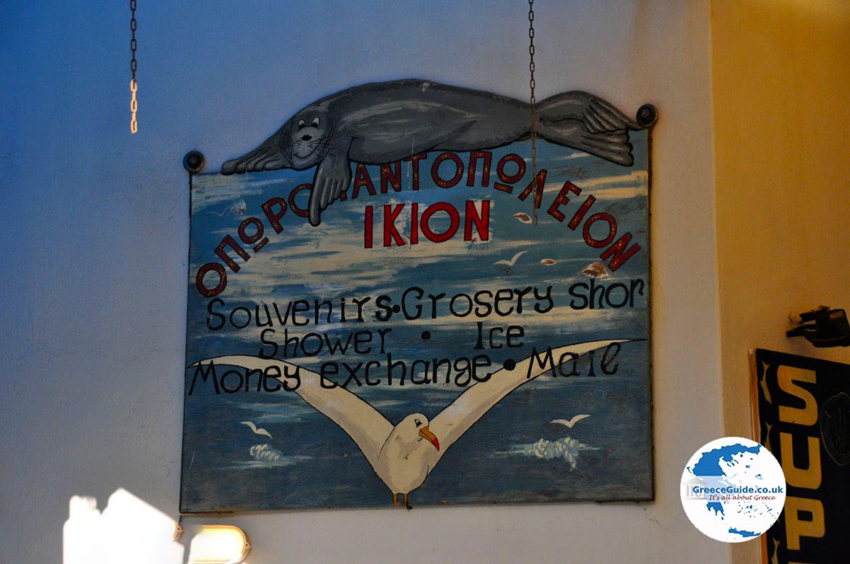
Photos Kyra Panagia - Kyra Panagia pictures
Kyra Panagia in other languages
 Kyra Panagia (GriekseGids.nl)
 Kyra Panagia (GriekseGids.be)
 Kyra Panagia (JustGreece.com)
Kyra Panagia: Where on the map is Kyra Panagia located?
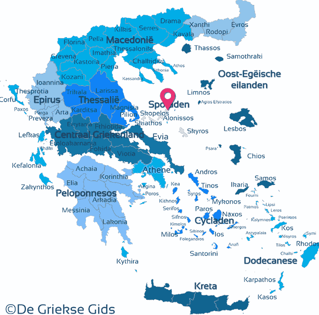
The map of Kyra Panagia - ©GreeceGuide.co.uk
Kyra Panagia
Holidays in Greece
© GreeceGuide.co.uk 2025