Kimolos - Cyclades (Greece)
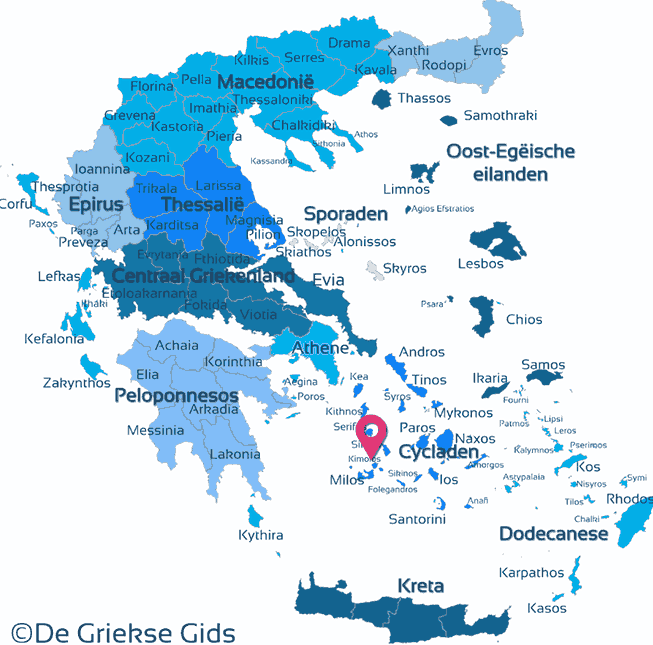
Kimolos. Kimolos is a small mountainous island north west of Milos and southwest of Sifnos. The island is situated 13 kilometers (8 mi) from the north coast of Milos and covers an area of 39 square kilometers (mi2).
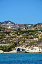
Kimolos is a less touristy island. It has not been discovered yet, but that does not mean it is not pretty. It is a quiet, volcanic island, white as chalk, to which it owes his name. Kimolia is the Greek word for “chalk.”
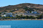
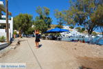
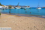
There are very nice small sandy beaches, a perfect place for people seeking peace and quiet.
Several times a year there are great festivals like that of Profitis Ilias on July 20, Aghios Panteleimon on July 27, Osia Methodias on October 5 and Taxiarchis on November 21.
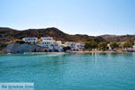
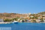
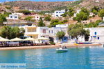
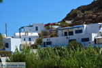
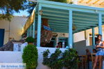
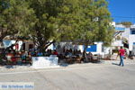
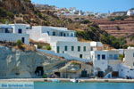
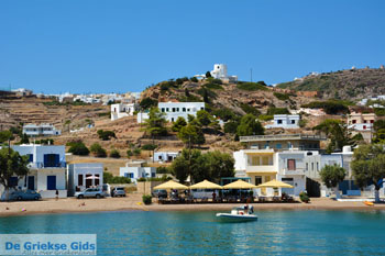
The capital of the island is also called Kimolos or Kimolos village (Chorió Kimolos). The locals call their capital Chora. Ninety percent of the population of the island lives here. Notable are the white houses and the many flowers found here. The most beautiful beaches for swimming are Psathi and Kalamitsi.
Photo Gallery Kimolos - Photos of Cyclades
Sights Kimolos
- The ruins of the medieval capital Zefyra.
- The few remains of the ancient city Ellinika.
- Paleokastro at an altitude of 358 meters (1,200 ft) in the north of Kimolos.
Beaches Kimolos
- In the west, the beaches Fykiada, Dekas, Mavrospylia, Lakos, Kakou Potamou.
- In the north, the Stranden Therma, Agioklima, Soufi, Monastiria and Vromolimnos.
- In the east, the beaches of Aghios Georgios, Loutra, Pigados, Livadaki, Klima, and Psathi.
- In the south Alyki, Bonatsa and Kalamitsi.
How to get to Kimolos
Kimolos is connected by ferry with the ports of Piraeus (Athens), Folegandros, Kythnos, Milos, Paros, Serifos, Sifnos and Syros.
Text: Yorgos and Wendy Nikolidakis - Text edited by Katrina Butzer
Weather forecast Kimolos
Photos Kimolos - Kimolos pictures
Kimolos in other languages
Kimolos: Where on the map is Kimolos located?




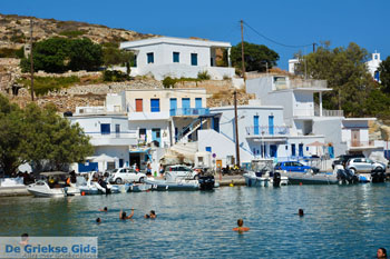
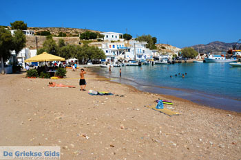
 Kimolos (GriekseGids.nl)
 Kimolos (GriekseGids.be)
 Kimolos (JustGreece.com)