Kamares - Heraklion Prefecture (Greece)
Kamares. Kamares is a mountain village on the southern slope of the Ida mountain on Crete. The village is located at about six hundred meters above sea level and it has about six hundred inhabitants. Every year on July 23 in Kamares a public festival is held in honour of St. George. Kamares is best known for the caves that lie north of the village, which attract a lot of tourists. These caves are located about 1500 meters high and were only discovered in 1890 by a villager. At the beginning of the 20th century British excavations discovered the famous vases and pots that were named Kamarian pots. These pots are from the pre-Minoan times from the year 2000 BC. These pots and vases are special because they are colourful and elegant. The drawings of them is evidence that the drafters were great artists. If you look at the Cretan history and to the Minoan civilization, you will see that the area experienced great prosperity and had good trade relations with Egypt. In ancient times, these vases were sent to Egypt and other countries in North Africa, but also exported to Cyprus.
For walkers / hikers Kamares is an interesting village. Here are four beautiful gorges:
- The Great Divide (Megali Faragga). They say there has never been a human being here. Stairs at the entrance bring visitors to a depth of three hundred and fifty meters. The view here is fascinating.
- The gorge of Spiliara (here you will find a cave; Spilia means cave)
- The gorge Sfaka located between the village and the caves. For walkers this area is difficult to enter, so that is why one prefers walks in the Spiliara Gorge.
- The Foulofaraggo gorge.
Text: Yorgos and Wendy Nikolidakis - Revised by Maxine van Hoften Gee
Photo Gallery Heraklion Prefecture - Photos of Heraklion Prefecture
more photos of Heraklion Prefecture»
Weather forecast Kamares (Heraklion Prefecture)
Kamares in other languages
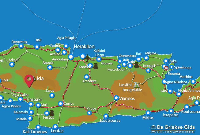
Heraklion Prefecture: Where on the map is Kamares located?


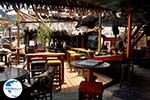


 Kamares (GriekseGids.nl)
 Kamares (GriekseGids.be)
 Kamares (JustGreece.com)